")
Earlier this month, Earth Systems Science Interdisciplinary Center (ESSIC) held a virtual workshop on Python hosted by Rebekah Esmaili from Science and Technology Corp (STC).
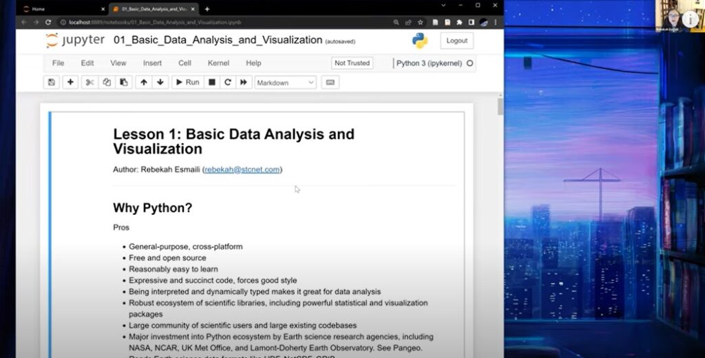
The two-day workshop was a crash course on using Python to analyze satellite data. In the workshop, Esmaili covered how to read satellite data formats like NetCDF and HDF, perform basic analysis, and create visualizations of satellite data. The workshop did not require prior Python experience and was beneficial for both experienced programmers and newcomers to scientific programming.
The event was extremely popular with ESSIC faculty, with over 50 attendees per day. Attendees reported that the class was informative and interactive.
Esmaili is a senior research scientist at STC contracted through the JPSS program. Her research focuses on transitioning satellite sounding retrieval products to users, including the National Weather Service, the trace gas community, and tropical cyclone researchers. She also won a broad agency announcement contract with NOAA to build a prototype Digital Twin of the Earth using NESDIS’ observation systems and data products. She graduated from UMD with her PhD in 2016 from the Department of Atmospheric and Ocean Sciences and is also an ESSIC alumna. In 2021, Esmali wrote a book titled Earth Observation Using Python: A Practical Programming Guide available through the University of Maryland library.
“It’s a labor of love for me; my goal is to offer the skills and training I wish I had as a graduate student, and I hope that folks who participate in the workshop pass on the training to others,” said Esmali.
If you attended the workshop and have feedback, please submit your comments here by June 9. If you would like to access the recordings, please email me at cazzy@umd.edu .


