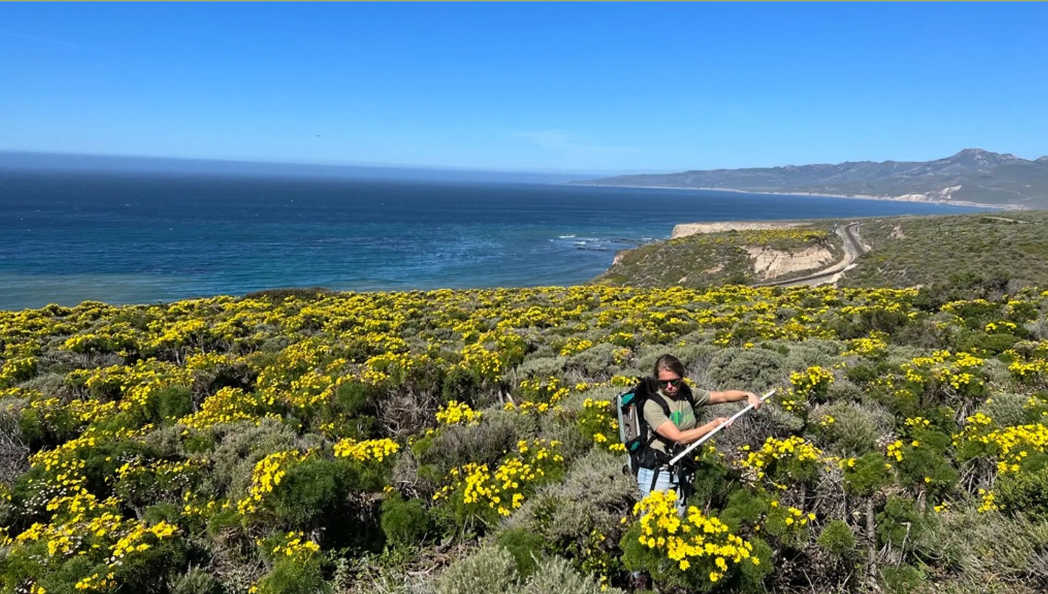
ESSIC Researchers Take to the Air to Clock Wildflower Blooms
Researcher Ann Raiho measures sunlight interacting with yellow Coreopsis gigantea flowers during field work in the Jack and Laura Dangermond Preserve in California’s Santa Barbara
")
Researcher Ann Raiho measures sunlight interacting with yellow Coreopsis gigantea flowers during field work in the Jack and Laura Dangermond Preserve in California’s Santa Barbara
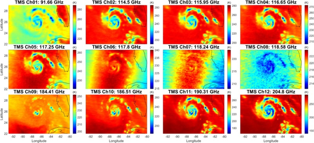
ESSIC scientists involved with the NASA TROPICS CubeSat mission recently built an algorithm for hydrometers retrieval. In a paper in Remote Sensing of Environment, John
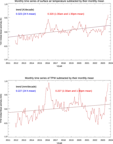
ESSIC/CISESS scientists Yan Zhou, Chris Grassotti, Yong-Keun Lee, and John Xun Yang are co-authors on a new paper in Scientific Reports titled “Trends of temperature
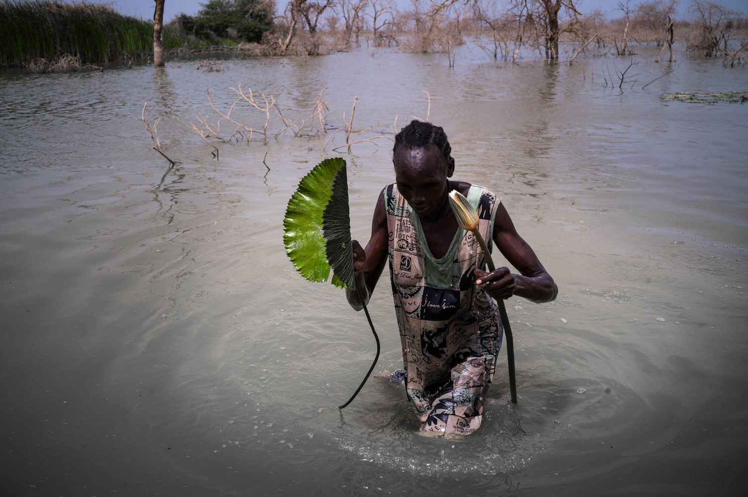
The article was written by Avalon Gordy from Famine Early Warning Systems Network (FEWS NET). It was originally published on ReliefWeb and republished with permission.
On September 12, Thomas Colligan gave a plenary presentation at the Integrated Carbon Observation System Science Conference in Versailles, France. His presentation, titled “A Near

Earlier this month, Nature Reviews Earth & Environment released their annual Climate Chronicles, a collection of their ‘Year in Review’ articles. In these pieces, leading experts outline the observed characteristics and changes to select climate metrics and policies over the course of the year, collectively documenting the state of the climate and its ongoing evolution.
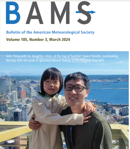
The Bulletin of the American Meteorological Society (BAMS) featured the work of ESSIC/CISESS scientist John Xun Yang in their March 2024 issue.

As spring finally arrives in typical Maryland style – downpours – people take comfort in these wet days by dreaming of the blooms that the rain nurtures. However, a new study by an Earth System Science Interdisciplinary Center researcher published in Nature Reviews Earth & Environment shows that whether rainfall comes as drizzle events or downpours matters for plant growth.
CISESS Deputy Director and ESSIC Research Professor Ernesto Hugo Berbery is a co-author on a new paper in npj Climate and Atmospheric Science, a Nature Research journal, that examines agricultural flash droughts worldwide and reveals their characteristics and life cycle.
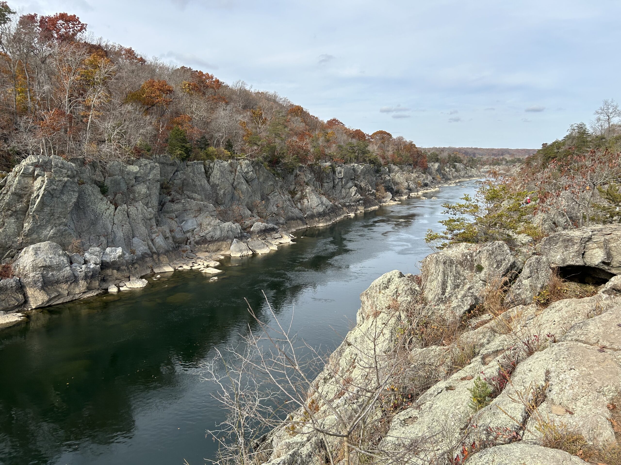
Sujay Kaushal is part of a multi-institution effort to monitor the intrusion of saltwater into rivers close to the ocean.
