")
Innovative Use of Satellite Data Establishes Water Clarity Improvement at Restored Oyster Reefs
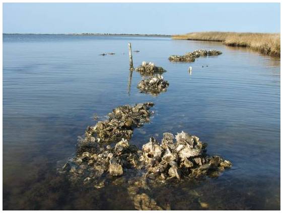
Ron Vogel, ESSIC senior faculty specialist, recently co-authored a NOAA Technical Memorandum with colleagues from NOAA’s National Marine Fisheries Service, titled “Using Satellite-Derived Total Suspended Matter Data to Evaluate the Impacts of Tributary-Scale Oyster Restoration on Water Clarity.” In the study, the team sought to explore whether large-scale oyster restoration in the Chesapeake Bay, on the order of 100s of acres, can produce improvements in water clarity that are measurable, and whether satellites can be a tool to help measure that change.
